Hello everyone,
A Season Close to Mountains, which is currently on VOD, is free to stream until 3/31/25.
https://vimeo.com/820127241
#cinema #film #travelogue @audiovisual
Recent searches
Search options

Administered by:
#travelogue
2 posts2 participants0 posts today
https://www.alojapan.com/1224419/tokyo-travelogue-street-scenes-in-shinjuku/ Tokyo travelogue: Street scenes in Shinjuku #bleed #blue #cubbie #ExcludeFromStnVideo #FrontPage #in #Scenes #Shinjuku #street #Tokyo #TokyoTopics #travel #travelogue #東京 #東京都 TOKYO — When you read this, or at least at the time it’s going to post, I’ll be only a few hours from landing at O’Hare Airport. This will be the longest Monday ever, as I had a full morning and early afternoon in Tokyo, and the flight left at 6:20 p.m. Japan time. It’s…

https://www.alojapan.com/1223076/japan-travelogue-a-day-trip-to-kyoto/ Japan travelogue: A day trip to Kyoto #a #bleed #blue #cubbie #day #ExcludeFromStnVideo #FrontPage #Japan #JapanTours #Kyoto #to #tours #travel #travelogue #trip KYOTO, Japan — For something different on a Saturday, I decided to take the bullet train from Tokyo to Kyoto, to see a part of Japan I’d never seen before. According to Google Maps, the distance between Tokyo Station (where the Shinkansen train departs) and Kyoto Station is 282 miles…


Chroniques cubaines #illustration #dessin #drawing #indianink #BlackAndWhite #cuba #voyage #carnetdevoyage #travelogue #travel #oldcar #car #cars #vintagecars
À partir d'une photo d'un copain qui a écrit le texte d'accompagnement inspiré par les souvenirs de son voyage à Cuba. Merci Tophe !!!
From a photo of a friend who wrote the accompanying text inspired by memories of his trip to Cuba. Thanks Tophe!!!


Sixteen Mile Jeep Track, Victorian High Country
In our recent travels around the Victorian High Country, me and Beetle the Jeep drove the Sixteen Mile Jeep Track (also called the Sixteen Mile Jeep Road). Although this track can be tricky in the wet, it’s not very challenging when dry. The forest and countryside are beautiful, well worth the drive.
Here’s a taste of the track:
Would you like to explore more of the Victorian High Country? I cordially invite you to crawl around a few of the tracks that we followed:
- Huts of the Victorian High Country
- Blue Rag Range Track, VIC
- Craig’s Hut, The Man from Snowy River
- The Big Koala & The Dog on the Tuckerbox
- Billy Goat Bluff Track, VIC
That’s all for today, folks

Huts of the Victorian High Country
In this post: Join me on a crawl around the mountain huts of the Victorian High Country in Australia.
This is the blog of Mark Wordsworm, the travelling worm. I’m a 40-year-old bookmark (give or take a few years) and I proudly boast my own Hallmark serial number, 95 HBM 80-1. You’ll probably want to read all about me and my Travelling Companion (the TC).
Today’s travel notes
In our recent travels around the Victorian High Country, me and the TC visited several of the area’s well-known mountain huts. The huts vary from a basic four-walls-and-a-roof structure to quite a solid affair with furnishings. Most of them were built to offer shelter to walkers, cattle folk, and others who might be caught out by the unpredictable weather of the highlands. Some are named for the families who lived in them, like Lovick’s Hut.
I’ve written a separate blog post about the most famous hut of all: Craig’s Hut, from the movie, The Man from Snowy River.
The book I’m in
The Phenomenon of Man by Pierre Teilhard de Chardin. I’m chewing my way through this momentous work, savouring it a piece at a time.
Travel tips
If at first you don’t spot the dunny (that’s Australian for toilet), take a walk and look again. Most campgrounds and picnic areas have a long-drop.
From the sublime to the ridiculous… a dunny on the Paradise Falls track:
Recommended accommodation
Camping is the best option for a trip around the Victorian High Country. It’s hard to predict where you’ll find yourself at the end of each day. Most likely, you won’t be anywhere near a hotel.
Luckily, the campgrounds are well laid out and most have a toilet, albeit a long-drop. Here are the campgrounds we stayed at.
Seven (count ‘em: 7) days camping in a row. That’s a record for yours truly:
- Day 1 (18 February): The campground near Craig’s Hut. Elevation 1,450 metres. It was cold, even in the middle of the Australian summer. This worm recommends a thick book to cuddle up in.
- Day 2 (19 February): A camping site on Mount Howitt. Elevation 1,600 metres. It was even colder that night, due to some wind and an early morning mist. The TC, bless her thick cotton socks, wore leggings, gloves, two T shirts, two soft jackets, and a large Dutch jacket, and huddled down into her sleeping bag.
- Day 3 (20 February): Eaglevale campground near Dargo. Those who aren’t made of cardboard had a refreshing dip in the Wonangatta river.
- Day 4 (21 February): Black Snake Creek campground, again on the banks of the Wonangatta River. The non-cardboard folks took another swim in the river.
- Day 5 (22 February): Castleburn Creek campground on Dargo Road.
- Day 6 (23 February): Hinnomunjie Bridge campground, on the far side of Omeo.
- Day 7 (24 February): Taylor’s Crossing in the Nunniong area. The TC, bless her cotton socks, spotted her first Gang-gang Cockatoos here.
What about food? What about the pretty berries?
This worm recommends that you bring all your supplies when travelling the lesser-known roads of the high country. People in the know can snack off bush tucker, but beware: don’t eat anything unless you’re sure it’s good for humans. Some of our party were keen to try these Dianella berries. But not all Dianellas are edible!
The photos
Me at the Washington Winch on Nunniong Road near Moscow Villa Hut:
Yours truly is nicely in focus. That’s how I like it.
Ah, you want to know about the winch too?
The Washington Winch was powered by steam, and built in Seattle, USA, to haul timber up steep slopes.
Here’s the winch hook, which hangs above the track a few metres from the engine:
And now, on to those huts.
Craig’s Hut
If you’ve seen the movie, The Man from Snowy River, then you’ve had your breath taken away by the beauty of the mountain views from Craig’s Hut. Canny readers will spot yours truly on the window sill of the hut in the above photo. To find your breath again, read my separate blog post about Craig’s Hut and The Man from Snowy River.
Bindaree Hut
Pikes Flat Hut
Pike’s Flat Hut was one of the more dilapidated structures. It had horse feed inside, and thistles (an introduced weed in Australia) outside.
Bluff Hut
We stopped at Bluff Hut for lunch and a stroll. The hut was quite substantial, a place I could imagine myself sheltering in if the weather got bad.
Lovick’s Hut
Lovick’s Hut is another substantial, liveable structure.
Howitt Plains Hut
Wonangatta Hut near Bryce’s station
This hut had an attractive, sturdy sleeping platform.
Black Snake Creek Hut
This hut and the nearby camping area are on the banks of the Wonangatta River.
Moscow Villa Hut
That’s all for today, folks


Blue Rag Range Track, VIC
In this post: Blue Rag Range Track near Dargo in Victoria, Australia: the track, the views, and our route to get there.
This is the blog of Mark Wordsworm, the travelling worm. I’m a 40-year-old bookmark (give or take a few years) and I proudly boast my own Hallmark serial number, 95 HBM 80-1. You’ll probably want to read all about me and my Travelling Companion (the TC).
Today’s travel notes
Me and the TC recently spent a week and a half in the Victorian High Country, a landscape of mountains and valleys in the state of Victoria, Australia. On 23 February, we tackled a bucket-list four-wheel driving track in the area: Blue Rag Range Track.
The book I’m in
Lathe of Heaven by Ursula K Le Guin. Every time this worm gets into a book by this author, I’m astounded at the cleanness of her style and the smartness of her plots. This book is no exception.
Recommended accommodation
Hinnomunjie Bridge campground in Omeo Valley, Victoria. The site is well laid out on the banks of the Mitta Mitta river, with clean toilets and clear grassy areas to pitch your tent.
Recommended restaurant
Dargo Hotel in Dargo.
Travel tips
Try to avoid pitching your tent on a slope. The TC, bless her cotton socks, kept waking up with her feet hanging over the end of the bed and a big empty space at the top of the bed. She finally worked out that she was sliding down thanks to the slope.
The photos
Me at the trig point at the top of Blue Rag Range Track (elevation 1,700 metres / 5,580 feet):
Observant readers will notice the trophies stuck to the trig tower, by people who’re proud to make it to the top. We didn’t leave a trophy, but it is indeed a great feeling to have made this trip.
Observant readers will also notice that it was windy up there! This worm strikes a jaunty pose nonetheless, with my tassel horizontal and a firm grasp from a friendly hand.
Hyper-observant readers will notice Peg skulking in the book at bottom right. Peg makes occasional appearances in my posts, her firm grip on reality keeping me grounded. But even Peg wasn’t strong enough for the gale at the Blue Rag Range trig point.
The track
It took us three and a half hours (12:30pm to 4pm) to drive the track itself, with a one-hour lunch break and stops for photographs.
At the start of the track is a steep mound with a hole at its crest, ready to trap the unwary vehicle. Most people choose to go round:
Another video shows the approach to the trig point at the top of the track:
Friendly locals in Dargo told us that it’s unwise to venture beyond the trig point. Those who do will almost certainly need help recovering their vehicles, and the Dargo police are inundated with calls for help from drivers who don’t realise the risks.
The views from the track are stunning, with mountain ranges all round:
Much of the track runs along the top of the ridge:
A sign post marks the track part-way along, surrounded by white tree skeletons and scrubby grass:
Our route
We started the day by fuelling up in Dargo. This is one of the cars in our convoy:
The Dargo Hotel offers a good feed. Here’s Beetle the Jeep, lined up and ready to go:
We left Dargo in mid-morning, following Lind Avenue along the banks of the Dargo River, then Dargo High Plains Road to the start of the track.
A sign post shows the start of the Blue Rag Range Track on Dargo High Plains Road:
After reaching the Blue Rag Range trig point, we turned round and went back to Dargo High Plains Road, continuing north to the B500.
We camped overnight at Hinnomunjie Bridge campground on the banks of the Mitta Mitta river in Omeo Valley. This beautiful fire barrel was made by one of our travelling companions:
That’s all for today, folks


Billy Goat Bluff Track, VIC
In this post: Billy Goat Bluff Track near Dargo in Victoria, Australia, plus some lovely country and a river to camp beside.
This is the blog of Mark Wordsworm, the travelling worm. I’m a 40-year-old bookmark (give or take a few years) and I proudly boast my own Hallmark serial number, 95 HBM 80-1. You’ll probably want to read all about me and my Travelling Companion (the TC).
Today’s travel notes
Me and the TC recently spent a week and a half in the Victorian High Country, a landscape of mountains and valleys in the state of Victoria, Australia. On 22 February, we tackled a well-known four-wheel driving track in the area: Billy Goat Bluff Track.
The book I’m in
Jericho’s Dead by William Hussey. This is the second in a series about Scott Jericho, an ex police detective and member of a fairground family who seems to attract serial killers and other nasties. Highly recommended.
Recommended accommodation
Black Snake Creek campground on the banks of Wonangatta River.
Travel tips
Although Billy Goat Bluff track has been graded and is relatively easy driving, many of the tracks in the Dargo area are challenging. Pick your route to and from Billy Goat Bluff with care.
The photos
Crawling the tracks is what yours truly does best. So, let’s start with a video of part of Billy Goat Bluff Track, to give you and idea of what it’s like. The track was graded in late 2024. When we were there in February 2025, the driving was easy. But beware the steep drop-offs on both sides!
The TC, bless her cotton socks, talks about the Billy Goat Gruff track in the video. It’s actually Billy Goat Bluff. Rumour has it that the track got its name because to drive it, you need to be as agile as a goat.
The track features a steep gradient of 27%, climbing 1,200 metres over a distance of 7 kilometres.
The TC’s water bottle compressed as if it had been in a jet plane:
How long does it take? It took us less than two hours to drive the track. We started the track itself at soon after 9am and finished before 11am, with plenty of stops for photographs.
Here’s our convoy on the infamous ridge. Those edges give little margin for error or for passing an oncoming vehicle:
All round us, the peaks and valleys of the high country conspired to make us feel like insignificant worms on the face of the universe (oh wait, I am a worm, and decidedly not insignificant!):
Getting there: On the night before the trail, we camped at Black Snake Creek campground on the banks of the Wonangatta River:
We left the campground at around 8.30am and followed Wonangatta Road northwards for half an hour or so, winding along the banks of the Wonangatta River until we joined Billy Goat Bluff Track.
The lovely Kingwill Bridge on Wonangatta Road:
In case your appetite for Billy Goat Bluff isn’t yet satiated:
After finishing Billy Goat Bluff, we took a short detour to visit Pinnacles Lookout in the Miowera region:
There I met my cousin Dilly the Butterfly:
We then explored some of the tracks around Dargo, which turned out to be much more of an adventure than planned. We helped some folks out of trouble, which meant that we were still on the tracks late at night:
We found our way safely to Castleburn Creek campground at midnight, rounding off another day of happy travelling.
Speaking to the locals in Dargo the next day, we heard that many people find themselves in trouble on these tracks. The maps are not up to date, and as a result people don’t know what’s in store for them. Take care out there on the tracks, make sure you’re in a capable vehicle, and travel with some mates to help if you do run into a tricky situation.
That’s all for today, folks


I've been unwell the last couple of days -- "you've been to Casablanca, of course you have a disease" -- so have had plenty of time to catch up.

For those who are still interested, I've put another two days up at https://siegeavecvue.eu/tag/morocco-2025/
siegeavecvue.euMorocco 2025 – Siège avec vue
I've started uploading #SiegeAvecVue text, but I'm about a week behind at the moment. (I've done the first two days in #Tangier)
Start here: https://siegeavecvue.eu/2025/02/07/morocco-day-one-donostia/
siegeavecvue.euMorocco, day one: Donostia – Siège avec vue
Continued thread
Weiter geht's zum #VAI wo ich schon länger Mal in der Bibliothek schmökern wollte.
#urlaubzuhause #travelogue

Continued thread
Auf dem Weg treffe ich #Guntram der mich spontan auf einen Kaffee in seinem Souterrain-Laden-Büro einlädt..Wir unterhalten uns mit Daniel über #Radkultur in #vlbg, #Dornbirn als Innenstadt etc. cool! #travelogue

Hier startet mein #Travelogue zu eine Woche #Urlaub in der eigenen Stadt bzw Region. Die Firma hat zu und jetzt habe ich endlich Zeit mich auf meine Hobbys und Maker-Projekte zu fokussieren!
Replied in thread
@opendna I'm having a little play with @writefreely #WriteAs today to see how it works. It's a bit laborious cutting-and-pasting posts from WordPress but it's just an experiment and I'd forgotten how much I enjoy #Markdown. I'm wondering if there's use for the #Fediverse integrations. @siegeavecvue@write.as #travelogue

"Gone Viking III" is a travelogue of Bill Arnott's adventures spanning multiple countries in search of the "Holy Grail". #History #Archaeology #NorseHistory #Travelogue #HistoryFact https://whe.to/ci/8-503-en/
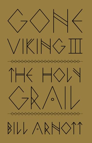
whe.toGone Viking III by Bill Arnott (Book Review)Gone Viking III: The Holy Grail by Bill Arnott is a travel writing narrative with not just insight but also quirkiness gifted by the author. General enthusiasts...
𝟯 𝗪𝗼𝗿𝗱 𝗥𝗲𝘃𝗶𝗲𝘄: “𝗙𝗼𝗹𝗹𝗼𝘄𝗶𝗻𝗴 𝘁𝗵𝗲 𝗕𝗿𝘂𝘀𝗵” 𝗯𝘆 𝗝𝗼𝗵𝗻 𝗘𝗹𝗱𝗲𝗿 -
Elder's American-family-adjusting-to-Japan story has lots of close anecdotal experiences that offer some basic concepts from traditional Japanese culture; brief and unpursued, they remain enjoyable but basic.
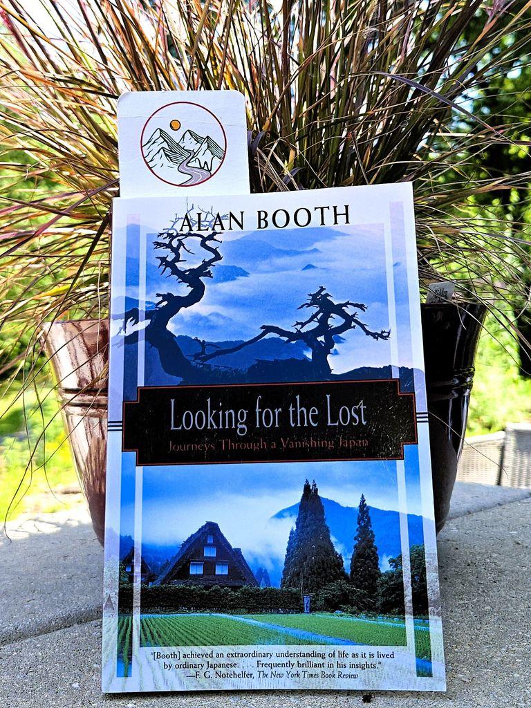
𝗥𝗲𝘃𝗶𝗲𝘄: "𝗟𝗼𝗼𝗸𝗶𝗻𝗴 𝗳𝗼𝗿 𝘁𝗵𝗲 𝗟𝗼𝘀𝘁" 𝗯𝘆 𝗔𝗹𝗮𝗻 𝗕𝗼𝗼𝘁𝗵 -
While Booth offers more hour-to-hour details and less reflection than I would like, his travelogue of walking rural Japan through its literary and military history is remarkable, memorable, and genuinely enlightening.
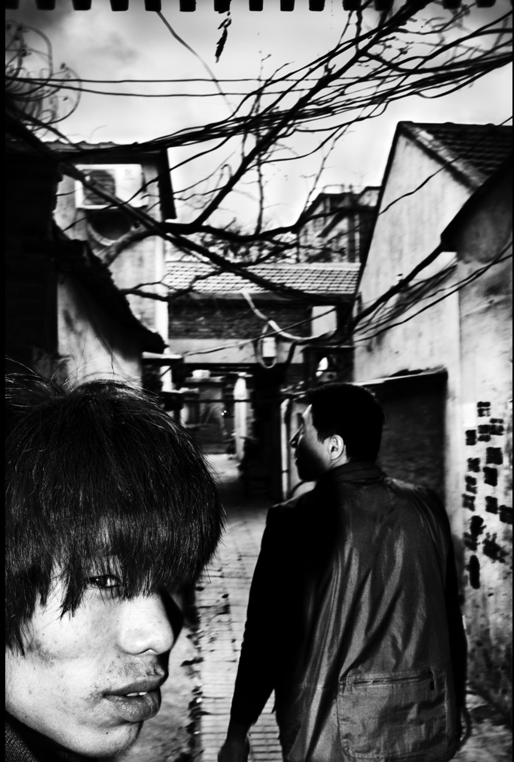
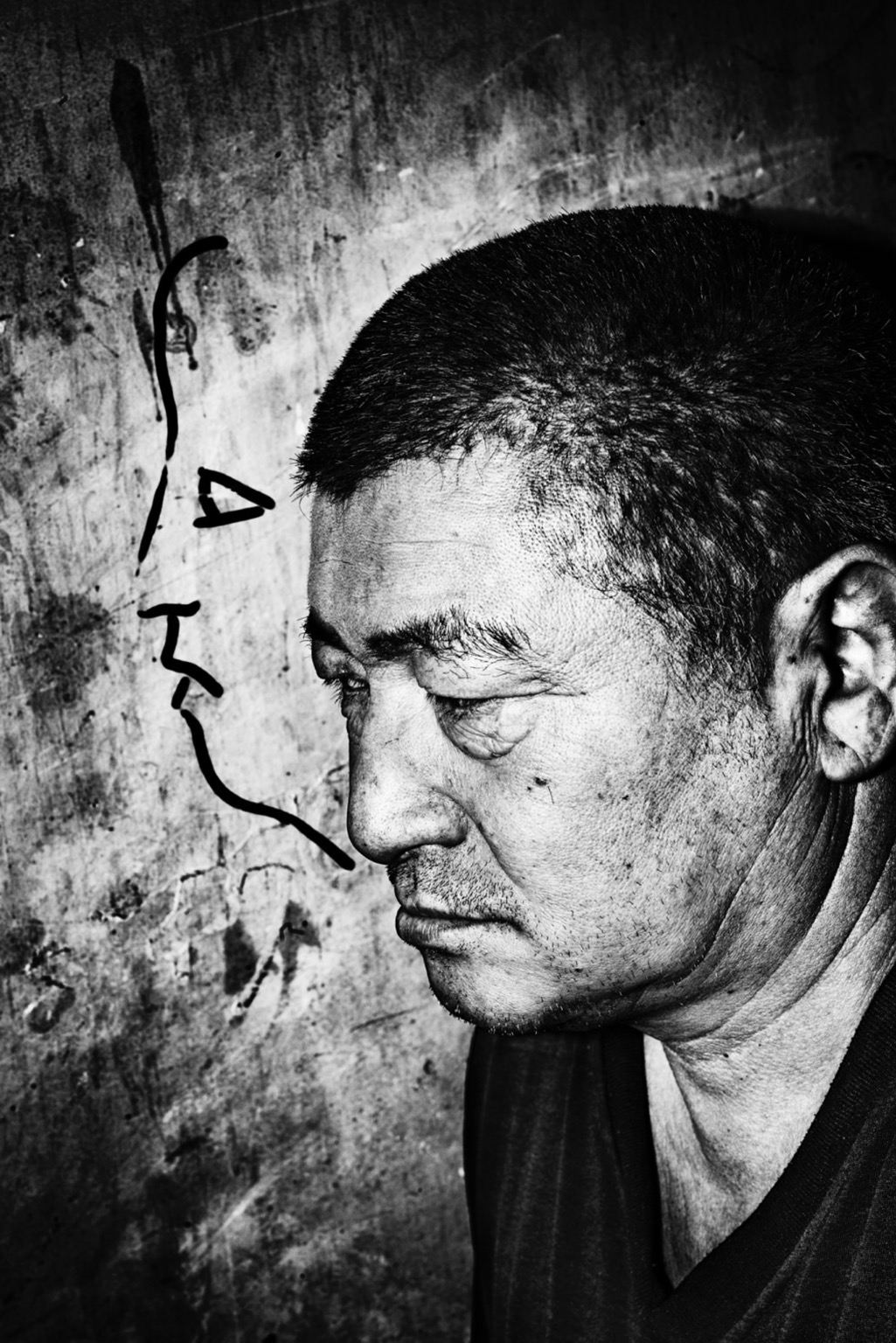
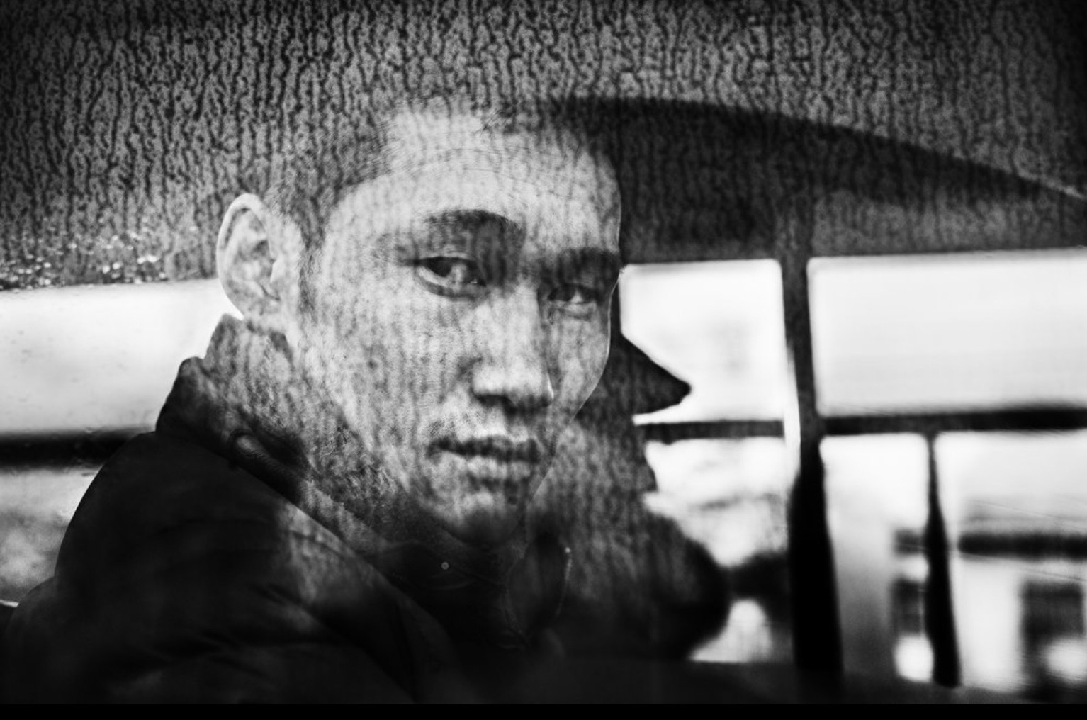
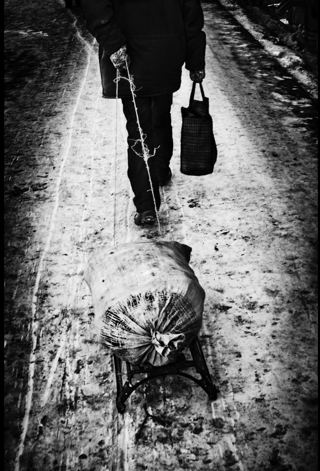
Arrivals and Departures
Photographs from Jacob Aue Sobol's 2012 journey on the Trans-Siberian Railway, from Moscow to Beijing and on to Ulaanbataar, Mongolia