


 Greg Cocks
 The Ecological Benefits Of More Room For Rivers
--
https://doi.org/10.1038/s44221-025-00403-0 <-- shared technical article
--
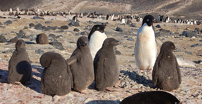
#spatial #spatiotemporal #morphology #meander #levee #understanding #oxbow #pointbar #river #water #hydrology #landform #geomorphology #geomorphometry #geology #fluvial #riverine #weather #climate #erosion #sediment #sedimentation #DEM #floodplain #terraces #ecsosystems #ecology #sustainable #climatechange #flood #floodrisk #risk #hazard #management #planning #monitoring #migration #engineering #unconfined #rive #channel #metaecosystem #connections #biodiversity #extremeweather


 Traverse Bay (red to green contours) along the eastern shoreline of the Keweenaw Peninsula. On the Peninsula, early copper mines are indicated by black dots within the Portage Lake Volcanic Series (dashed lines) and large stamp mills by stars. Two mills (Wolverine and Mohawk) are located near Gay. Insert shows anthropogenic copper inventory “halo” around the Peninsula, in µg/cm² copper")
 Traverse Bay: 2010 LiDAR DEM (digital elevation model) colour-coded by elevation and water depth (depth scale to right). Red horizontal contour lines are at 5 m depth intervals. Gay tailings pile (“original pile”) is indicated, as well as migrating underwater stamp sand bars dropping into an ancient river channel (the Trough; at locations #1, and #5). On the eastern flanks of Buffalo Reef, stamp sands are moving out of the Trough into cobble/boulder fields (#3, #4). Along the western edges, stamp sands have migrated as a beach deposit to the Traverse River Seawall (#8) and are slipping down into an underwater depression (#7) next to cobble/boulder fields. Stamp sands are also moving around the harbour outlet (#8). Hence, both the eastern and western sides of Buffalo Reef are experiencing tailings encroachment. Lower on the reef (#2, #6), there is little contamination. Past the Traverse River, the sands in the southern bay are almost exclusively natural quartz grains (#9), forming a white beach with shoreline cusp-like features and bar, plus ridges (#10) of natural sand moving from the shelf into deeper waters off the bay and into Lake Superior")
![aerial images - UAS high-resolution drone elevation and bathymetry surveys (base map 9 August 2022) of shoreline retreat at the original Gay pile location after bluff removal. Overlays along the beach edge trace shorelines in 2009, 2016, and 2022. The 78 m retreat over 6 years (2016–2022); equates to a 13 m/yr rate. The previous, nearly constant, long-term retreat rate prior to 2009 averaged 7.9 m/yr (ca. 26′) [7,57]. The original Jacobsville Sandstone shoreline, before stamp sands were discharged, is marked by the red border in the far-left upper region. Note white concrete basements of the two mills and remnants of both wooden and broken concrete launders in the northern region. Environmental recovery is beginning, as benthic organisms and fish are returning to clear underwater stretches of the bedrock shelf, where waves have removed stamp sands. Scattered trees (many birch) are beginning to colonise what is left of the original Gay Pile surface.](https://files.techhub.social/media_attachments/files/114/181/078/126/458/223/original/308a656b51dd22fa.png "aerial images - UAS high-resolution drone elevation and bathymetry surveys (base map 9 August 2022) of shoreline retreat at the original Gay pile location after bluff removal. Overlays along the beach edge trace shorelines in 2009, 2016, and 2022. The 78 m retreat over 6 years (2016–2022); equates to a 13 m/yr rate. The previous, nearly constant, long-term retreat rate prior to 2009 averaged 7.9 m/yr (ca. 26′) [7,57]. The original Jacobsville Sandstone shoreline, before stamp sands were discharged, is marked by the red border in the far-left upper region. Note white concrete basements of the two mills and remnants of both wooden and broken concrete launders in the northern region. Environmental recovery is beginning, as benthic organisms and fish are returning to clear underwater stretches of the bedrock shelf, where waves have removed stamp sands. Scattered trees (many birch) are beginning to colonise what is left of the original Gay Pile surface.")
 Wooden discharge launder distributing tailings onto the Gay Pile, around 1922, with smaller sluices conveying stamp sand and slime clays laterally (courtesy MTU Archives). (b) Photo of 6–8 m high stamp sand bluffs in July 2008 off Gay, showing a buried small lateral sluiceway protruding out of the pile along the shoreline. Lake Superior waters are to the right; the dark beach sands are stamp sands with intermixed slime clay layers. (c) Bluff photo from about the same location in 2019, when shoreline erosion (ca. 7–8 m/year) reached the buried launder support beams, just before bluff removal.")


, gross primary productivity (GPP), soil erosion, evapotranspiration (ET), and runoff (R) in the Yellow River Basin under scenarios with and without ecological restoration")


 in the upper Congo Canyon between 2019 and 2020... The grey shaded base map shows seabed gradients in 2020. Shades of red correspond to areas of erosion, and blue to areas of deposition.")


 as revealed on a geologic map; the same location in the map is shown in the attached photo")
; but they do not coincide with the current drainages in the SRTM DEM (image above). Triangle at point S1 is the site where the stratigraphic sequence was investigated.")

 as shown on the processed ASTER image. The same ASTER image was used below after projecting the current drainages extracted from STRM DEM. There is no coincidence between the OPl and the current drainages evidencing an invisible paleodrainage (OPl). Triangle at point S2 is the site where the stratigraphic sequence was investigated")


 and the Strait of Sicily (F) about 5.3 million years ago")


 and bacterial (B) richness found in the 11 studied environments (n: number of included samples). Environments are grouped on the basis of biome (marine, terrestrial) and depth realm (surface, interface, subsurface). Note that Archaeal terrestrial water and sediment samples contain too few datapoints for robust visualization using boxplots, yet the plots were retained for completeness. NA, no value available. Total archaeal (C) and bacterial richness (D) using a subsampling approach to account for different group sizes (100 iterations using 1142 archaeal or 2271 bacterial reads, respectively). Normalized gamma diversity corroborates that archaeal diversity is highest in marine interface and subsurface ecosystems even when different group sizes are considered. All pairwise comparisons were significantly different (P < 0.001) except for those indicated with ns (not significant).")
 for an extended period. Arrow going from left (start) to right) showing precipitation of mineral envelopes with higher Mg/Ca ratio and lower d13C value.")

 ternary for the Nelson and Marlborough regions. Ternary is produced by variable mixing of K, eTh and eU. Data from New Zealand Petroleum and Minerals. The shade model underlying the radiometric extent shows the extent of LiDAR coverage for the Nelson and Marlborough regions.")

 | Mean statistics for susceptibility classes.")